Hide out of stock items

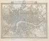

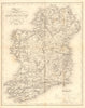

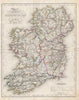

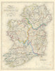

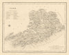

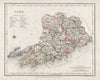

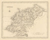

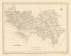

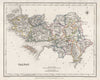

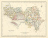

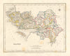

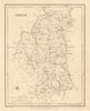

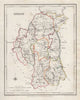

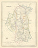

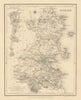

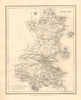

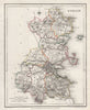

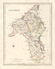

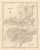

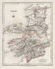

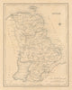

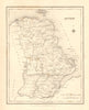

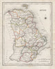

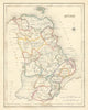

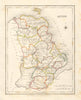

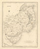

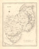

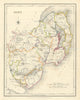

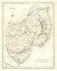

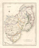

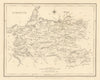

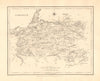

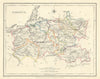

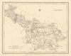

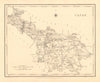

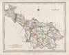
Antique town / borough plans & county maps by J & C Walker, and R Creighton from Samuel Lewis's "Topographical Dictionary of England" (1835), showing the boundaries as surveyed for and determined in the Great Reform Act Bill of 1832, and Lewis's Atlas of the counties of Ireland (1846)