Hide out of stock items


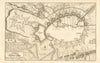

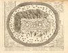

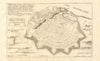

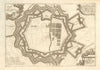

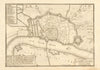

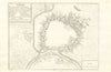

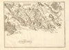

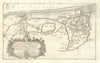

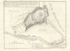

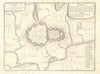

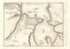

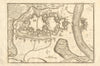


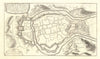

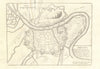


Nicolas de Fer (1646-1720) was cartographer to King Louis XIV of France, Philip V of Spain and Pope Clement XI. We stock a selection of his beautiful plans and prints of fortified towns, cities and ports; battles, islands and canals from "A la Sphere Royal" (1705), which cover France, Spain, Italy, Germany, Netherlands, Belgium, Quebec, Constantinople & Batavia.