Hide out of stock items


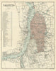


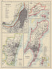

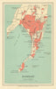

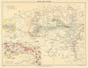


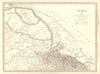


Antique maps of India, and prints depicting colonial British India under the Raj. Old maps of Indian regions by SDUK (1844-1848) & Johnston (1897-1906), steel engravings from Martin's "Indian Empire" (1858), town and city plans of Bombay, Delhi, Calcutta &c, and touring maps from Murray's "Handbook for Travellers in India" (1924-1929), Lovett's "Armies of India" prints (1911), 19th century prints from the "Illustrated London News", "Birds of India" (1924), Tallis/Rapkin maps showing early Indian railway developments (1849-1851)