Hide out of stock items


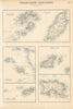

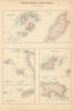


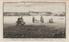


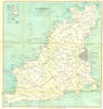

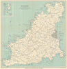

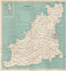

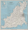

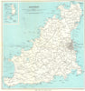

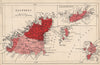


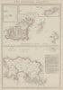

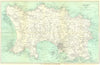

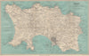


Antique maps and old prints of the Channel Islands of Jersey, Guernsey, Alderney & Sark. Vintage Ward Lock island maps and town plans of St Helier & St Peter Port. Maps of the archipelago by Mallet (1683), Tallis/Rapkin (1851), Philip, Bacon, Stanford, Weller & Baedeker. Steel engravings from by Mudie (1838-1855) & from "Harwood's Illustrations of Jersey" (c1855), Watercolour prints by HB Wimbush (1904)