Hide out of stock items


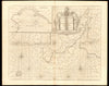

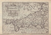

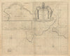

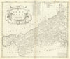


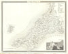


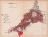


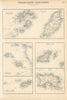

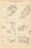


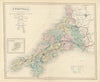


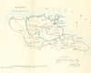


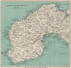


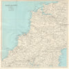
Browse for antique maps of Cornwall & old Cornish prints inbc. its people, towns, villages and landscapes. 18th/19th century Cornwall county maps by Cary, Dugdale, Bacon, Weller, Philip et al. We have old plans of towns and seaside resorts including Penzance, St Ives, Truro, Fowey, Padstow, Looe & Newquay by Ward Lock (1930's-1940's) and Creighton/Walker (1835). We stock steel engraved prints from "Cornwall Illustrated" (1831) by Allom, touring maps of Land's End, The Lizard, Bodmin Moor, Falmouth and the Cornish coast, and views of shipwrecks and topographical prints from the "Illustrated London News" and "Graphic".