Hide out of stock items

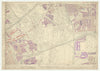

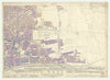

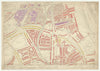

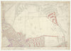

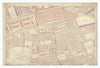


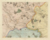

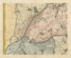

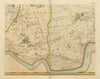


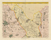

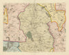

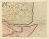

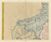

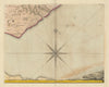


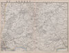


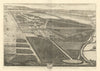

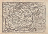


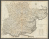


Antique maps & old prints of Essex. County maps by Bacon, Philip, Cary, Morden & Moule. Antique views & town plans of Colchester, Chelmsford, Southend & Clacton by Ward Lock (1920's-1960's), Dawson (1832) and Creighton/Walker from Lewis's "Topographical Dictionary"(1835). Epping Forest maps from the Blue Guides. Vintage street maps of outer London suburbs from Geographia's "Authentic Map Directory" (1923-1964). Old prints from Cassell's "Greater London" (1888), "Recording Britain" (1946-1949), 19th century engravings from the "Illustrated London News", prints of "Famous Cricketers and Cricket grounds" (1896), Copperplate views from Grose's "Antiquities of England" (1776), and road strip maps by Owen/Bowen from "Britannia Depicta"(1753).