Hide out of stock items

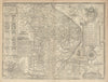


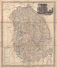


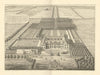

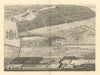


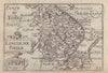

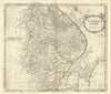

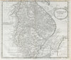


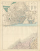


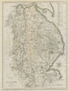

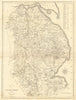


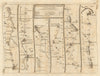


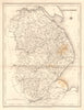
Antique maps & old prints of Lincolnshire. County maps by Bacon, Philip, Cary, Morden & Moule. Antique views & town plans of Boston, Grantham, Lincoln, Louth & Grimsby by Dawson (1832) and Creighton/Walker from Lewis's "Topographical Dictionary"(1835). Steel engravings from Saunders' "Lincolnshire" (1836), old prints from 19th century engravings from the "Illustrated London News", Copperplate views from Grose's "Antiquities of England" (1776), and road strip maps by Owen/Bowen from "Britannia Depicta"(1753).