


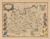


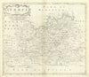


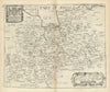


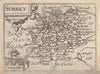

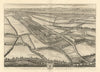


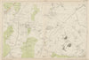

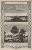

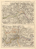


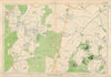


Antique maps & old prints of Surrey. County maps by Bacon, Philip, Cary, Morden & Moule. Antique views & town plans of Guildford, Woking, Epsom & Dorking by Ward Lock (1920's-1960's), Dawson Reform Act plans (1832) and from Creighton/Walker from Lewis's "Topographical Dictionary"(1835). Vintage street maps of outer London suburbs from Geographia's "Authentic Map Directory" (1920's-1930's). Watercolour prints from "A Pilgraimage in Surrey" (Ogilvy, 1914), decorative steel engravings from Tombleson's "Thames & Medway" (1835), vintage prints from "Recording Britain" (1946-1949), 19th century engravings from the "Illustrated London News", prints of "Famous Cricketers and Cricket grounds" (1896), Copperplate views from Grose's "Antiquities of England" (1776), and road strip maps by Owen/Bowen from "Britannia Depicta"(1753).
EU orders up to €150 are sent VAT- and duty-paid — no additional charges on arrival
Authenticity Guaranteed - We only sell original antique & vintage items
Can we help? Call us on +44-208-960-3476 • FAQs
All our products are exempt from US tariffs — no additional duties or taxes payable on arrival.
- Shop by Country
- Shop by Cartographer
- Shop Maps by Type
- Shop Prints by Subject