Hide out of stock items

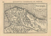

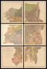

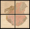


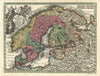

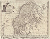

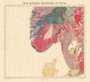

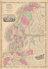

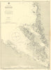


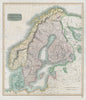


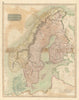

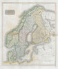


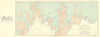

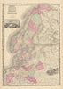

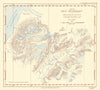

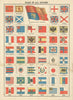

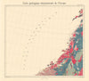

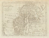

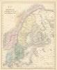

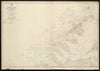

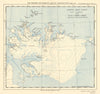

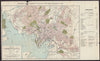

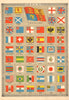

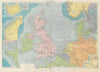

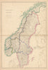

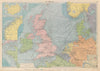

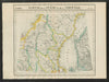

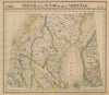

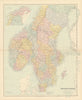


Browse for antique maps and old prints of Norway and the Norwegian fjords and arctic. Town plans of Bergen, Christiania (Oslo), Kristiansand, Halden & Drammen, and touring maps of the coast and mountains by Baedeker (1885-1912) and from Bennett's handbook (1896). Watercolour prints by Nico Jungman (1905) & S.C. Hammer (1928). 19th century prints from the Illustrated London News and Lovett's "Norwegian Pictures" (1890). For maps of Scandinavia, see Europe