Hide out of stock items


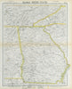

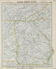


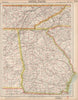

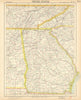


Antique maps & old prints of Georgia and city plans of Savannah. We stock early state maps by Buchon from "Deux Ameriques" (1825), antique Baedeker touring maps & city plans (1904-1909), town plans from Appleton's Guide to the United States (1893), halftone prints from "Voyage a Travers d'Amerique" (1895), "Encyclopaedia Americana" maps and plans, decorative maps of the states and territories of the United States from Colton's "General Atlas" (1863) and "Octavo Atlas of the Union" (1864), from Arrowsmith & Lewis's "New and Elegant General Atlas" (1812), and from Rand McNally's "Unrivaled Atlas" (1912). Maps of the region by SDUK (Society for the Diffusion of Useful Knowledge - 1840s)