


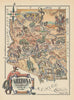


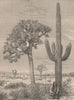


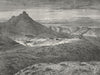


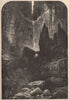


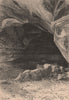


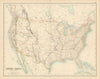


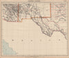

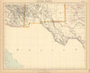
The Gila River expedition and the Grand Canyon give these prints of Arizona their sense of exploration and spectacle. Illustrations from Emory's account show saguaro country, Casa Grande, mountain camps, petroglyphs and meetings with Pima and Maricopa communities, while later views follow the Colorado through Marble Canyon and the Grand Canyon and show Canyon de Chelly and the San Francisco Mountains. The maps trace the changing territorial boundaries, including the Gadsden Purchase, through to state, county, railway and highway maps, with atlas sheets by Johnson, Mitchell and others and land-cession maps of Apache, Navajo, Hopi and neighbouring territories. Irrigation surveys and geological sections add the land and its water.
EU orders up to €150 are sent VAT- and duty-paid — no additional taxes on arrival
Authenticity Guaranteed - We only sell original antique & vintage items
Can we help? Call us on +44-208-960-3476 • FAQs
All our products are exempt from US tariffs — no additional duties or taxes payable on arrival.


- Shop by Country
- Shop by Cartographer
- Shop Maps by Type
- Shop Prints by Subject