
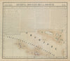


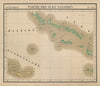


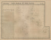

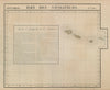


The Oceania volume of Vandermaelen's Atlas Universel turns the Pacific into adjoining sheets on a single scale, part of the lithographed world atlas published in Brussels in 1827, with an index map explaining the arrangement. The atlas defined Oceania broadly, taking in Australia, New Zealand and the Pacific archipelagos as well as New Guinea, the Philippines and much of the East Indies. Australia is still New Holland and Tasmania Van Diemen's Land, and separate sheets cover Fiji, Tonga, New Caledonia, the New Hebrides and neighbouring islands, often cutting across modern borders.
EU orders up to €150 are sent VAT- and duty-paid — no additional taxes on arrival
Authenticity Guaranteed - We only sell original antique & vintage items
Can we help? Call us on +44-208-960-3476 • FAQs
All our products are exempt from US tariffs — no additional duties or taxes payable on arrival.


- Shop by Country
- Shop by Cartographer
- Shop Maps by Type
- Shop Prints by Subject