


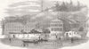

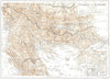


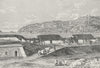


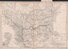


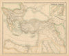


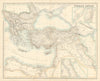

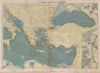

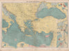



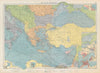


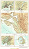


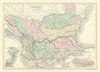


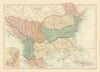


Palaces, batteries and shipping lanes line the Bosphorus, the strait between Europe and Asia beside Istanbul, in these maps and prints. Charts by Gauttier and maps by Lodge, Stanford and other publishers link it with the Black Sea, the Sea of Marmara and the Dardanelles, city plans and atlas insets show Constantinople on both shores, and navigational sheets mark the ports and lighthouses of the wider eastern Mediterranean route. The prints depict Dolmabahçe Palace, Rumeli Hisarı, Anadolu Kavağı and the approaches from the Black Sea, with views across the water to Hagia Sophia, anchored fleets, telegraph stations and the British embassy's summer residence at Therapia. Military scenes concentrate on the fortified entrances, quieter prospects on the palaces and settlements along the shores.
EU orders up to €150 are sent VAT- and duty-paid — no additional taxes on arrival
Authenticity Guaranteed - We only sell original antique & vintage items
Can we help? Call us on +44-208-960-3476 • FAQs
All our products are exempt from US tariffs — no additional duties or taxes payable on arrival.


- Shop by Country
- Shop by Cartographer
- Shop Maps by Type
- Shop Prints by Subject