


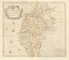


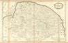

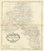

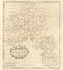

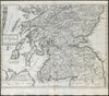

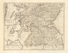

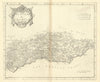

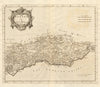


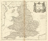

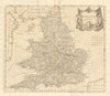

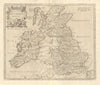


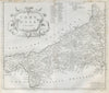


From Roman geography to the counties of early modern atlases, these antique maps trace the many identities carried by Britannia, Britain's ancient name. The collection gathers works titled Britannia and maps that use the name as a geographical description, with particular weight on Richard Blome's county sheets and Robert Morden's maps for Camden's Britannia. Roman Britain appears in maps reconstructed from classical sources, including work by Morden and John Cary, so county outlines, roads and settlements sit beside ancient place names. The prints add Britannia herself, the allegorical figure of the nation.
EU orders up to €150 are sent VAT- and duty-paid — no additional taxes on arrival
Authenticity Guaranteed - We only sell original antique & vintage items
Can we help? Call us on +44-208-960-3476 • FAQs
All our products are exempt from US tariffs — no additional duties or taxes payable on arrival.


- Shop by Country
- Shop by Cartographer
- Shop Maps by Type
- Shop Prints by Subject