Hide out of stock items


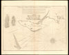

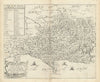


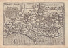

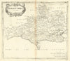

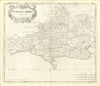

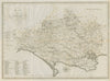

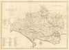

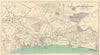


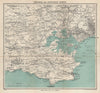

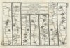

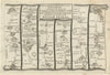

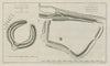

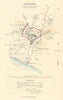


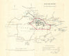

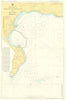


Antique maps & old prints of Dorset / Dorsetshire. County maps by Bacon, Philip, Cary, Morden & Moule. Antique views, seaside resort and town plans of Bournemouth, Weymouth, Shaftesbury, Lyme Regis, Swanage, Christchurch & Dorchester &c by Ward Lock (1920's-1960's), Dawson (1832) and Creighton/Walker from Lewis's "Topographical Dictionary"(1835). Old prints from "Recording Britain" (1946-1949), 19th century engravings from the "Illustrated London News", Copperplate views from Grose's "Antiquities of England" (1776), and road strip maps by Owen/Bowen from "Britannia Depicta"(1753). Sea coast charts from Collins' "Coasting Pilot" (1774). Watercolour prints from "Wessex" by Walter Tyndale (1906)