


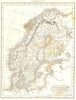








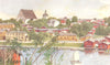

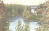

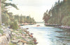





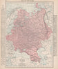


Lakes, Baltic approaches and a shifting political setting run through these maps of Finland. Earlier European and imperial sheets place the country within Swedish or Russian frameworks, later maps show it beside the Baltic states and Scandinavia, and northern sheets set it within the wider landscapes of Lapland. Maps of the Gulf of Bothnia and the Baltic link the Finnish shore with the sea routes around it, and geological surveys examine bedrock and surface deposits at a more detailed scale. Boundaries, place-name forms and purposes vary widely across this nineteenth- and twentieth-century work. Prints add settlements, coastal sites and regional subjects.
EU orders up to €150 are sent VAT- and duty-paid — no additional taxes on arrival
Authenticity Guaranteed - We only sell original antique & vintage items
Can we help? Call us on +44-208-960-3476 • FAQs
All our products are exempt from US tariffs — no additional duties or taxes payable on arrival.


- Shop by Country
- Shop by Cartographer
- Shop Maps by Type
- Shop Prints by Subject