


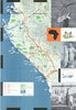

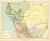


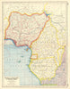



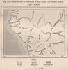

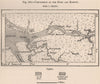

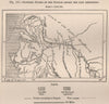

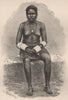

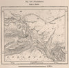

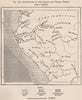

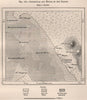

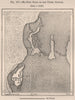


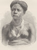


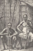


The Ogooué and its tributaries lead inland from the coast through estuaries, lakes and explorers' routes in these maps of Gabon. Early regional sheets set the area within west-central Africa, later maps record French Congo, Equatorial Africa and a separate Gabonese territory, and local plans cover Libreville, the Gabon estuary, Franceville and the lagoons near Fernan Vaz and Mayumba. The prints show trading settlements, mission buildings, river villages and forest journeys, with portraits and family groups from illustrated travel accounts in which the Fang, Mpongwe and other peoples appear under modern and historical names. Trees, flooded villages and lakeside scenes give the river landscape a strong presence.
EU orders up to €150 are sent VAT- and duty-paid — no additional taxes on arrival
Authenticity Guaranteed - We only sell original antique & vintage items
Can we help? Call us on +44-208-960-3476 • FAQs
All our products are exempt from US tariffs — no additional duties or taxes payable on arrival.


- Shop by Country
- Shop by Cartographer
- Shop Maps by Type
- Shop Prints by Subject