


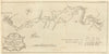


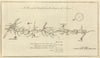


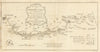

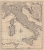


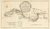


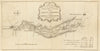


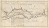

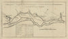


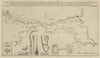

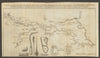


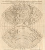


Our collection of maps from The Gentleman’s Magazine showcases the extraordinary breadth of cartographic material therein published between the mid-18th and early 19th centuries. Best known for its battle plans and military campaign maps—notably from the American Revolutionary War, Seven Years’ War, and the Napoleonic Wars—the magazine also published a wide variety of other map types that reflected the curiosity and concerns of an expanding empire. These include town and city plans, often published in response to military or political events; canal maps, tracking the rapid development of inland navigation in late Georgian Britain; and road strip maps, in the tradition of Ogilby, guiding travel between major cities. Also present are county maps, coastal surveys, island charts, and exploration maps—including those linked to the Pacific voyages of Captain James Cook. Contributors range from leading names like Thomas Jefferys, Thomas Bowen, John Gibson, and John Lodge to European authorities like Guillaume de l’Isle and d’Anville, and many anonymous or unattributed engravers. Covering Britain, Europe, the Americas, Asia, and the wider world, these maps are valued today for their contemporary perspective on world events and fine copperplate engraving, offering a dynamic record of a world in flux.
EU orders up to €150 are sent VAT- and duty-paid — no additional taxes on arrival
Authenticity Guaranteed - We only sell original antique & vintage items
Can we help? Call us on +44-208-960-3476 • FAQs
All our products are exempt from US tariffs — no additional duties or taxes payable on arrival.
- Shop by Country
- Shop by Cartographer
- Shop Maps by Type
- Shop Prints by Subject