
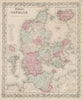

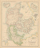


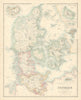



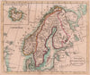


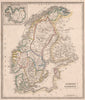


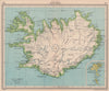


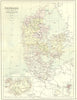




Volcanoes and glaciers, whaling and travellers on ponies bring these maps and prints of Iceland vividly to life, in material from the sixteenth century to the 1970s. Mallet's seventeenth-century map shows Hekla and whaling, later atlases group the island with Denmark, Greenland and the Faroe Islands, and geological sheets and regional charts examine its structure and its place in Arctic and Atlantic waters. Antiquarian work on the Zeno map adds a separate strand of historical investigation, and twentieth-century maps include naval, wartime and pictorial geography. The prints show travellers, domestic visits and clothing.
EU orders up to €150 are sent VAT- and duty-paid — no additional taxes on arrival
Authenticity Guaranteed - We only sell original antique & vintage items
Can we help? Call us on +44-208-960-3476 • FAQs
All our products are exempt from US tariffs — no additional duties or taxes payable on arrival.


- Shop by Country
- Shop by Cartographer
- Shop Maps by Type
- Shop Prints by Subject