


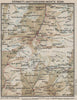


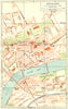

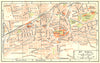

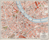

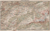

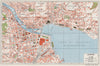

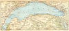

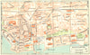

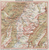

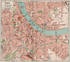


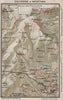

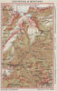

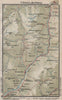


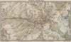

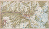


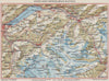

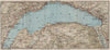

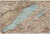

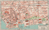

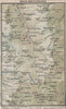

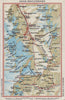

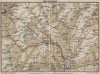
Detailed Swiss cartography for the Alpine traveller distinguishes these vintage maps by Kummerly and Frey, published between 1930 and 1953. They include specialised plates made for the Blue Guides series from 1930 to 1948, with plans of Lucerne, Zürich, Berne, Chur and Basel and maps of resorts across the Swiss Alps. Topographical sheets show the Grimsel and Furka passes, the Lake of Lucerne, Lake Geneva and the Engadin, with relief, mountain ranges and transport links across eastern and central Switzerland, and further maps follow southern routes to Lake Maggiore and Como. Military mapping from the Second World War completes the range.
EU orders up to €150 are sent VAT- and duty-paid — no additional taxes on arrival
Authenticity Guaranteed - We only sell original antique & vintage items
Can we help? Call us on +44-208-960-3476 • FAQs
All our products are exempt from US tariffs — no additional duties or taxes payable on arrival.


- Shop by Country
- Shop by Cartographer
- Shop Maps by Type
- Shop Prints by Subject