


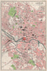


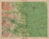

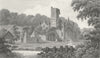

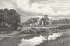

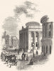

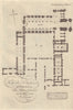


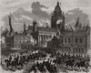


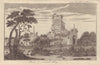






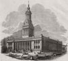

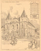

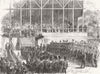

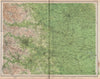

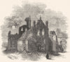








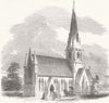

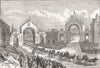

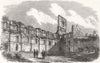

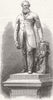

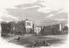

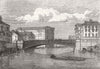

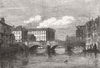
Antique maps and prints of Leeds include Robert Baker’s 1842 sanitary map, town plans by Dawson, Benjamin Rees Davies, Bacon and Bartholomew, and detailed Geographia sheets of Headingley, Holbeck, Armley, Roundhay and other suburbs. Views range from Kirkstall Abbey and Temple Newsam to the Town Hall, infirmary, churches, bridges and markets, alongside parliamentary-boundary, canal and wartime survey maps and scenes of Queen Victoria’s visits.
EU orders up to €150 are sent VAT- and duty-paid — no additional taxes on arrival
Authenticity Guaranteed - We only sell original antique & vintage items
Can we help? Call us on +44-208-960-3476 • FAQs
All our products are exempt from US tariffs — no additional duties or taxes payable on arrival.


- Shop by Country
- Shop by Cartographer
- Shop Maps by Type
- Shop Prints by Subject