
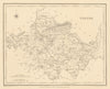

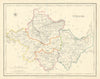

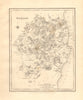

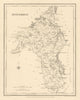

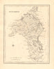

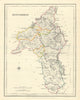

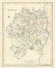

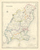

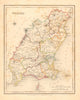

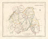

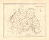

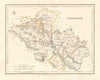

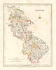

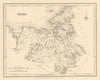

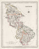

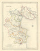

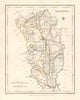

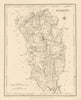

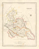

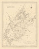

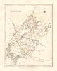
County by county, from Antrim and Donegal to Cork and Kerry, these antique maps from Lewis's Ireland chart the island across the four provinces of Ulster, Munster, Leinster and Connacht. Engraved mainly by Creighton & Dower, they were made for a topographical atlas of the counties and the kingdom as a whole, published by S. Lewis & Co at 13 Finsbury Place South in London between 1837 and 1850. Each sheet records boundaries, administrative divisions, settlements and transport links, and the counties include Dublin, Meath, Galway, Sligo, Waterford, Limerick, Armagh, Down, Fermanagh, Monaghan, Cavan, Roscommon, Offaly and Laois, with a map of the whole island completing the set.
EU orders up to €150 are sent VAT- and duty-paid — no additional taxes on arrival
Authenticity Guaranteed - We only sell original antique & vintage items
Can we help? Call us on +44-208-960-3476 • FAQs
All our products are exempt from US tariffs — no additional duties or taxes payable on arrival.


- Shop by Country
- Shop by Cartographer
- Shop Maps by Type
- Shop Prints by Subject