


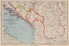


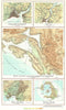

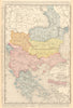


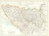

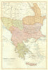

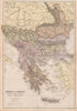


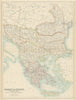

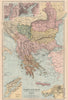


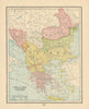


Mountain territory and Adriatic approaches define Montenegro in these Balkan maps, coastal charts and local scenes. Ottoman provincial mapping, eighteenth-century regional sheets by Rossi and Cantelli and later surveys link the country with Serbia, Bosnia and Albania, while charts around Kotor and Risan appear under older headings such as Cattaro and Dalmatia. Military maps of operations in the Tara and Lim valleys add a twentieth-century strand. The prints show towns, dress and scenes from nineteenth-century conflict, including the Montenegrin-Ottoman wars.
EU orders up to €150 are sent VAT- and duty-paid — no additional taxes on arrival
Authenticity Guaranteed - We only sell original antique & vintage items
Can we help? Call us on +44-208-960-3476 • FAQs
All our products are exempt from US tariffs — no additional duties or taxes payable on arrival.


- Shop by Country
- Shop by Cartographer
- Shop Maps by Type
- Shop Prints by Subject