


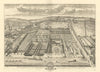


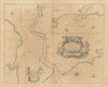

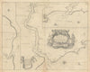


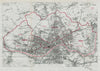


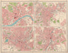

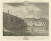

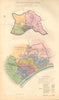


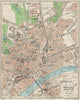

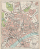

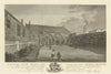

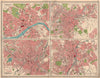


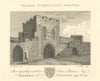
Antique maps, town plans and views of Newcastle upon Tyne and Gateshead, including the Quayside, High Level Bridge, Castle, Grey Street, St Nicholas’s Cathedral, Jesmond, Byker, Elswick and the River Tyne. The collection ranges from Brand’s 1789 History of Newcastle plates and Allom’s nineteenth-century prospects to Boundary Commission, Bacon, Bartholomew and Ward Lock plans, architectural drawings and industrial scenes.
EU orders up to €150 are sent VAT- and duty-paid — no additional taxes on arrival
Authenticity Guaranteed - We only sell original antique & vintage items
Can we help? Call us on +44-208-960-3476 • FAQs
All our products are exempt from US tariffs — no additional duties or taxes payable on arrival.


- Shop by Country
- Shop by Cartographer
- Shop Maps by Type
- Shop Prints by Subject