
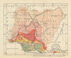


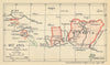





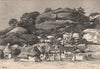

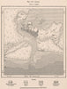


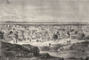

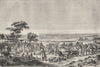

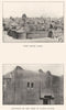


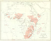


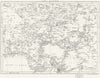




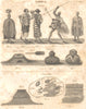



The journeys of Lander, Clapperton and Denham towards Lake Chad give these maps of Nigeria, running from 1683 to 1973, a strong thread of exploration. Early maps by Alain Manesson Mallet, Jacques-Nicolas Bellin and Rigobert Bonne chart the Bight of Benin, the Gulf of Guinea and the Calabar River, while mid-nineteenth-century maps for the Society for the Diffusion of Useful Knowledge trace the routes of Richard Lander, Hugh Clapperton, Walter Oudney, Dixon Denham and William Allen across Hausaland, Bornu and Borgu. Twentieth-century surveys map the northern provinces, forest reserves, rainfall, geology, crops, minerals, railways and waterways. Prints show the Benue, Bonny River, Badagry Creek, Bida, Jos, Kano and Sokoto, with Marghi villages, Jukun territories and local leaders.
EU orders up to €150 are sent VAT- and duty-paid — no additional taxes on arrival
Authenticity Guaranteed - We only sell original antique & vintage items
Can we help? Call us on +44-208-960-3476 • FAQs
All our products are exempt from US tariffs — no additional duties or taxes payable on arrival.


- Shop by Country
- Shop by Cartographer
- Shop Maps by Type
- Shop Prints by Subject