


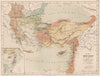

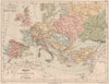


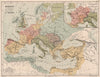

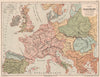


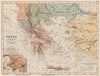


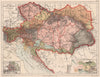

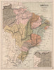


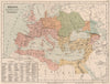

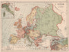

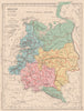
Watersheds, rainfall, forests, minerals and telegraph cables are mapped alongside political borders in the Nouvel Atlas de Géographie, published by Hachette in Paris in 1880 under the direction of E. Cortambert. France receives especially detailed thematic coverage, from agriculture to communications, while continental sheets follow drainage systems across national borders and shipping routes and cables chart the networks of the nineteenth-century world. Historical plates reconstruct ancient empires, medieval Europe, the crusading routes and the territorial growth of France, and the French terms and categories are those of the classrooms of the time.
EU orders up to €150 are sent VAT- and duty-paid — no additional taxes on arrival
Authenticity Guaranteed - We only sell original antique & vintage items
Can we help? Call us on +44-208-960-3476 • FAQs
All our products are exempt from US tariffs — no additional duties or taxes payable on arrival.


- Shop by Country
- Shop by Cartographer
- Shop Maps by Type
- Shop Prints by Subject