


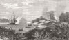


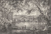


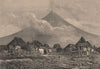


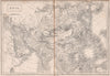


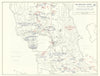







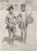

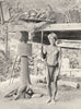


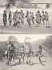

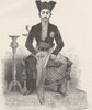


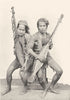




From early atlas maps by Mallet to the sea battles of Leyte Gulf, these maps follow the Philippines from sixteenth-century publishing into the later twentieth century. Regional sheets cover Luzon, Mindanao, the Visayas and Manila in the western Pacific, and broader maps of East Asia set the islands among their neighbours. Second World War sheets trace the movements of the fleets, with the battles of Samar, Surigao Strait and Cape Engaño forming a recurring group. The prints show the inhabitants, natural history and island life, some from illustrated accounts of the customs of the world.
EU orders up to €150 are sent VAT- and duty-paid — no additional taxes on arrival
Authenticity Guaranteed - We only sell original antique & vintage items
Can we help? Call us on +44-208-960-3476 • FAQs
All our products are exempt from US tariffs — no additional duties or taxes payable on arrival.


- Shop by Country
- Shop by Cartographer
- Shop Maps by Type
- Shop Prints by Subject