


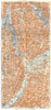

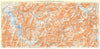

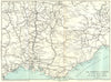

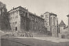

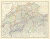

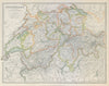


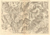

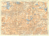

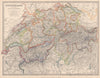

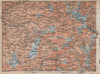


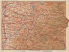


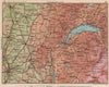


Alpine fortresses, the Mont Cenis railway and the Treaty of Turin of 1860 all feature in these maps and prints of Savoie, dating from 1572 to 1970. Early work by Henricus Hondius, Petrus Bertius and Barent Langenes is followed by eighteenth-century maps by Chauchard and Rigobert Bonne, which set the region beside Piedmont, Lombardy, Montferrat and Genoa. Later sheets by J. W. Lowry, Alexander Keith Johnston and Sidney Hall record the annexation of Savoy and the County of Nice under that treaty. The prints include Mallet's view of Chambéry, Nicolas de Fer's Montmélian fortress, nineteenth-century scenes of the Fréjus rail tunnel and Lanslebourg, and Sopexa wine posters for Seyssel and Crépy.
EU orders up to €150 are sent VAT- and duty-paid — no additional taxes on arrival
Authenticity Guaranteed - We only sell original antique & vintage items
Can we help? Call us on +44-208-960-3476 • FAQs
All our products are exempt from US tariffs — no additional duties or taxes payable on arrival.


- Shop by Country
- Shop by Cartographer
- Shop Maps by Type
- Shop Prints by Subject