
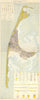

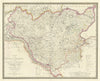


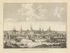


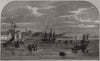


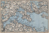

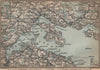




Between the North Sea and the Baltic, the old duchies of Schleswig-Holstein were mapped through their coasts, islands, ports and disputed frontiers. The maps range from early sheets of Dithmarschen and Lübeck to later town plans, geological surveys and North Frisian island sheets, with Kiel harbour, Flensburg Fjord, Sylt and Fehmarn among the coastal subjects and touring maps of the lake country around Plön and Eutin inland. The historical name covers territory now divided between Germany and Denmark, including northern Schleswig. The prints record naval visits, railway arrivals, the palace at Gottorf and political ceremonies at Kiel.
EU orders up to €150 are sent VAT- and duty-paid — no additional taxes on arrival
Authenticity Guaranteed - We only sell original antique & vintage items
Can we help? Call us on +44-208-960-3476 • FAQs
All our products are exempt from US tariffs — no additional duties or taxes payable on arrival.


- Shop by Country
- Shop by Cartographer
- Shop Maps by Type
- Shop Prints by Subject