


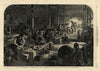

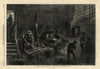

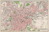


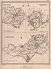

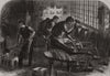

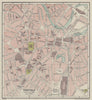

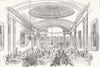

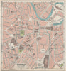




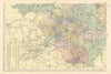

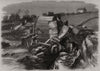

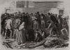

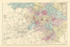

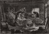

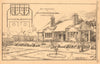

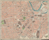

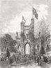

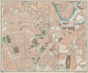





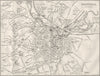


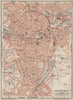


Maps and prints of Sheffield include 19th- and early 20th-century town plans by Dawson, Bacon, Bartholomew and Geographia, covering Hallam, Ecclesall, Attercliffe, Hillsborough, Heeley and other districts. The collection is especially strong in images and maps of the 1864 Sheffield Flood, steelmaking and grinding trades, civic buildings, churches and schools, with local survey, parliamentary-boundary and First World War air-raid maps.
EU orders up to €150 are sent VAT- and duty-paid — no additional taxes on arrival
Authenticity Guaranteed - We only sell original antique & vintage items
Can we help? Call us on +44-208-960-3476 • FAQs
All our products are exempt from US tariffs — no additional duties or taxes payable on arrival.


- Shop by Country
- Shop by Cartographer
- Shop Maps by Type
- Shop Prints by Subject