
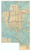


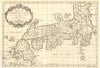


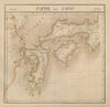







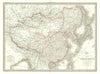

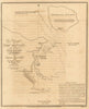



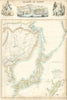


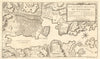

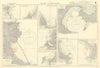

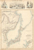

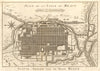


Antique maps and prints of Japan include atlas maps, treaty-port plans, harbour charts, woodblock prints and views of landscape and daily life. Dennys’s maps of Yokohama and Tokyo Bay sit alongside Murray’s handbook plans, works by Hokusai and Mortimer Menpes, and maps of the 1923 earthquake. Tokyo, Kyoto, Osaka and Nagasaki feature prominently, with later military surveys documenting Hiroshima and Nagasaki in 1946.
EU orders up to €150 are sent VAT- and duty-paid — no additional taxes on arrival
Authenticity Guaranteed - We only sell original antique & vintage items
Can we help? Call us on +44-208-960-3476 • FAQs
All our products are exempt from US tariffs — no additional duties or taxes payable on arrival.


- Shop by Country
- Shop by Cartographer
- Shop Maps by Type
- Shop Prints by Subject