
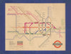

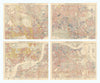

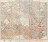


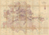


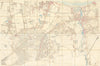


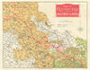


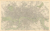

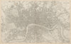


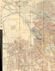


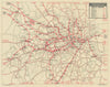


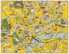
Antique maps of London, Westminster, the City & suburbs from Stow/Strype (1720), Geographia's "Authentic Map Directory" (1923-1964), street atlas maps from Geographer's A-Z, GW Bacon (1902-1965), Dispatch Atlas (1863), Forty & Abercrombie's reconstruction plans (1944), many Victorian ILN prints, steel views from Thomas Shepherd's "Metropolitan Improvements, or London in the 19th Century" (1828), Views & neighbourhood maps from Wilkinson's "Londina Illustrata" (1834). Old prints from "Wonderful London" (1926), wood engravings from Cassell's "Old & New London" (1880) & "Greater London" (1888) . Photographic images from "The Queen's London" (1896)
EU orders up to €150 are sent VAT- and duty-paid — no additional charges on arrival
Authenticity Guaranteed - We only sell original antique & vintage items
Can we help? Call us on +44-208-960-3476 • FAQs
All our products are exempt from US tariffs — no additional duties or taxes payable on arrival.
- Shop by Country
- Shop by Cartographer
- Shop Maps by Type
- Shop Prints by Subject