
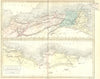

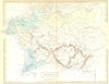

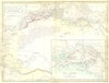

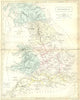

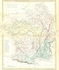
Roman Britain, Gaul, Germania and North Africa, where Rome fought Carthage, are mapped for students of the classical world in Samuel Butler's An Atlas of Antient Geography, published in 1861 by Longman, Green, Longman, and Roberts, with Hall named on part of the cartography. Britain is shown with its Roman roads and towns, and Gaul and Germania extend the coverage across western and central Europe, all under the historical place names of the period. The spelling Antient is the atlas's own and distinguishes it from similarly named school atlases.
EU orders up to €150 are sent VAT- and duty-paid — no additional taxes on arrival
Authenticity Guaranteed - We only sell original antique & vintage items
Can we help? Call us on +44-208-960-3476 • FAQs
All our products are exempt from US tariffs — no additional duties or taxes payable on arrival.


- Shop by Country
- Shop by Cartographer
- Shop Maps by Type
- Shop Prints by Subject