
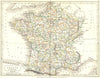

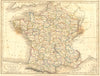

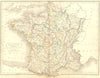

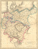


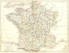

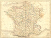

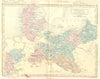

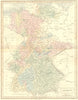

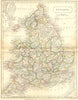

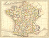

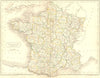

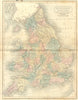
Sidney Hall's engraving gives a family likeness to these maps from An Atlas of Modern Geography, Samuel Butler's atlas for students and general readers, published in London by the Longman firm. France is especially well represented, shown both in its old provinces and in the departmental system, so the two ways of dividing the country can be compared directly. Germany, Prussia and Denmark cover central Europe, with England and Wales for Britain. The sheets run from the 1820s to the later Victorian period as the atlas passed through revised editions.
EU orders up to €150 are sent VAT- and duty-paid — no additional taxes on arrival
Authenticity Guaranteed - We only sell original antique & vintage items
Can we help? Call us on +44-208-960-3476 • FAQs
All our products are exempt from US tariffs — no additional duties or taxes payable on arrival.


- Shop by Country
- Shop by Cartographer
- Shop Maps by Type
- Shop Prints by Subject