
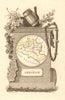

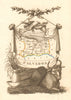

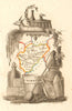

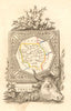

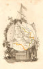

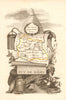

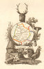

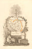


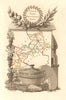


A. M. Perrot's Atlas Portatif du Royaume de France gave each French department its own small, ornamentally framed map, and the maps here come from the edition published in Paris in 1823. The atlas presented the kingdom through the departments created in the revolutionary period, from the north and Alsace to the Pyrenees, the Alps and the Atlantic coast, with Gironde, Calvados, Puy-de-Dôme and Isère among them. Names such as Basses-Pyrénées, Meurthe and Seine-et-Oise preserve the administrative vocabulary of the time. The small format makes the decoration especially prominent, while towns and rivers organise each interior.
EU orders up to €150 are sent VAT- and duty-paid — no additional taxes on arrival
Authenticity Guaranteed - We only sell original antique & vintage items
Can we help? Call us on +44-208-960-3476 • FAQs
All our products are exempt from US tariffs — no additional duties or taxes payable on arrival.


- Shop by Country
- Shop by Cartographer
- Shop Maps by Type
- Shop Prints by Subject