Hide out of stock items

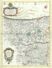

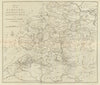


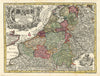


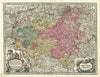

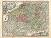

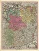

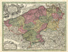

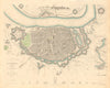

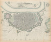

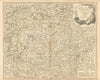


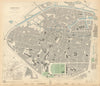


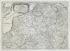

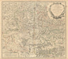

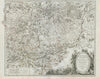

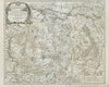

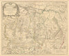


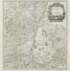

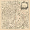


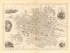


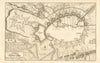
Browse for antique maps and old prints of Belgium & Luxembourg. Atlas maps by Tallis, Bacon, town plans of Brussels, Bruges, Antwerp, Ghent, Namur &c by SDUK (1844-48), Baedeker (c1900), Bradshaw (1890's), Blue Guides (20th Century), battle & campaign maps from the First World War, War of the First Coalition (1792-1797) & 1815 Waterloo campaign. We stock steel engravings by Tombleson, Shepherd &c (1837), and watercolour prints by Amedée Forestier (1908)