
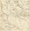


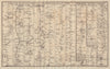

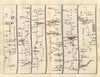

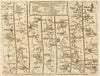

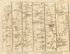


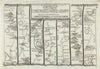

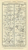

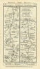

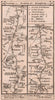


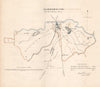

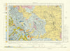

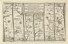


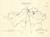

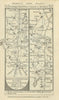

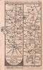

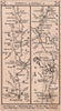


Dawson’s 1832 plans show Boroughbridge together with neighbouring Aldborough. A sheet from Thomas Jefferys’s 1772 Yorkshire survey and the 1967 Harrogate geological map add local coverage of the surrounding landscape, including the approaches to the River Ure. Road strip maps by Paterson, Kitchin and Owen & Bowen show routes through Boroughbridge.
EU orders up to €150 are sent VAT- and duty-paid — no additional taxes on arrival
Authenticity Guaranteed - We only sell original antique & vintage items
Can we help? Call us on +44-208-960-3476 • FAQs
All our products are exempt from US tariffs — no additional duties or taxes payable on arrival.


- Shop by Country
- Shop by Cartographer
- Shop Maps by Type
- Shop Prints by Subject