


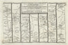


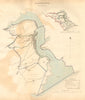

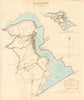


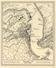


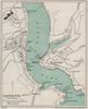

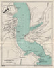

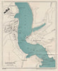

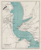

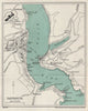

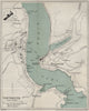

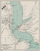

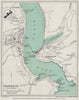


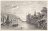



Dartmouth’s harbour, castle and Kingswear appear in Collins charts, Admiralty surveys and Ward Lock town plans. Views by Charles E. Hannaford and Frederick John Widgery depict Bayard’s Cove, Fosse Street, the Butterwalk and Church Close. Other prints record St Saviour’s Church, the naval college afloat and the Mayflower in Dartmouth Harbour. Road strip maps by Kitchin, Ogilby and Owen & Bowen show routes through Dartmouth.
EU orders up to €150 are sent VAT- and duty-paid — no additional taxes on arrival
Authenticity Guaranteed - We only sell original antique & vintage items
Can we help? Call us on +44-208-960-3476 • FAQs
All our products are exempt from US tariffs — no additional duties or taxes payable on arrival.


- Shop by Country
- Shop by Cartographer
- Shop Maps by Type
- Shop Prints by Subject