


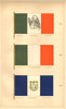


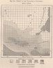

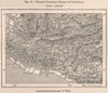

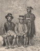

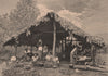

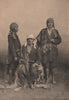

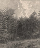


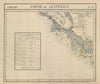


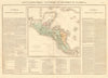
Guatemala appears here both as a modern country and as a much wider historical name, and the maps show the change. Early nineteenth-century sheets may give the name to territory across Central America, while later maps separate it from Honduras, Salvador, Nicaragua and Costa Rica, in work by Bellin, Tallis and Rapkin, Vandermaelen and Johnston. Thematic maps examine population, political divisions, products and mountain ranges, with separate treatment of Lake Petén Itzá and the densely settled south. The prints show Indigenous communities, local officials, workers on the Pacific slope and tropical vegetation, and flags and maritime ensigns record the country's identity at sea.
EU orders up to €150 are sent VAT- and duty-paid — no additional taxes on arrival
Authenticity Guaranteed - We only sell original antique & vintage items
Can we help? Call us on +44-208-960-3476 • FAQs
All our products are exempt from US tariffs — no additional duties or taxes payable on arrival.


- Shop by Country
- Shop by Cartographer
- Shop Maps by Type
- Shop Prints by Subject