
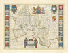

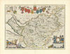

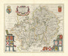

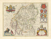

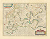
Joan Blaeu's decorative county maps, published in Amsterdam in 1645, come here from Le Théâtre du Monde ou Nouvel Atlas. Cheshire, Oxfordshire and Westmorland appear with a combined map of Worcestershire and Warwickshire, and Oldenburg in northern Germany shows the continental reach of the atlas. The maps carry Latin titles, so English counties are seen through a French-titled atlas produced by one of the great Dutch publishing houses.
EU orders up to €150 are sent VAT- and duty-paid — no additional taxes on arrival
Authenticity Guaranteed - We only sell original antique & vintage items
Can we help? Call us on +44-208-960-3476 • FAQs
All our products are exempt from US tariffs — no additional duties or taxes payable on arrival.


- Shop by Country
- Shop by Cartographer
- Shop Maps by Type
- Shop Prints by Subject