
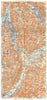

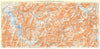

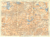

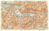


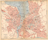
Alpine valleys, passes and resorts are traced route by route in these maps from Les Guides Bleus Savoie, the Hachette guide published in Paris in 1925 under Marcel Monmarché's direction. The sheets lead from Chambéry and Annecy into the high country, through the Aravis and along the Arve valley towards Saint-Gervais, while the Maurienne is mapped in successive stretches from Épierre and Saint-Michel to Modane and Mont Cenis. A topographical sheet of the Mer de Glace concentrates on the terrain below the Chamonix aiguilles. Made for French-speaking visitors between the wars, the maps give as much attention to railway valleys and road crossings as to the towns.
EU orders up to €150 are sent VAT- and duty-paid — no additional taxes on arrival
Authenticity Guaranteed - We only sell original antique & vintage items
Can we help? Call us on +44-208-960-3476 • FAQs
All our products are exempt from US tariffs — no additional duties or taxes payable on arrival.


- Shop by Country
- Shop by Cartographer
- Shop Maps by Type
- Shop Prints by Subject