
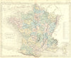

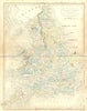

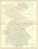

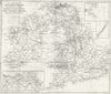

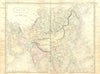

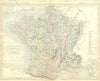

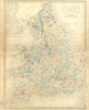
Sidney Hall's engraving runs through these maps published by Longman & Co. of London in 1850–1851. The sheets cover France, Germany, Asia, England and Wales and the British Isles, some associated with Butler's geographical works and some credited to Hall as draughtsman and engraver. A map of Britain showing rivers, canals, railways, coalfields and lighthouses charts the infrastructure of an industrialising country. They come from the publisher's mid-century list rather than a single identified atlas.
EU orders up to €150 are sent VAT- and duty-paid — no additional taxes on arrival
Authenticity Guaranteed - We only sell original antique & vintage items
Can we help? Call us on +44-208-960-3476 • FAQs
All our products are exempt from US tariffs — no additional duties or taxes payable on arrival.


- Shop by Country
- Shop by Cartographer
- Shop Maps by Type
- Shop Prints by Subject