


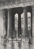


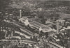


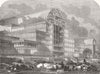


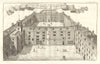

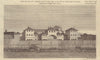


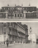

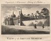


London is a city repeatedly erased and rebuilt. These maps and prints recover vanished landmarks and neighbourhoods, from the Royal Panopticon and Wyld’s Great Globe in Leicester Square, Thomas Hornor’s panorama in the Colosseum at Regent’s Park, and Ranelagh’s Rotunda to Old St Paul’s, Whitehall Palace and the Globe Theatre. Plans record streets and houses swept away for Regent Street, New Oxford Street, Charing Cross Road, Shaftesbury Avenue, Kingsway and Aldwych, while later maps trace Blitz destruction and post-war reconstruction in the City, South Bank, Hoxton, Stepney, Bermondsey and Kilburn. Together they preserve both buildings and ordinary urban fabric lost through fire, demolition, road building, railway expansion and comprehensive planning—a layered visual archive of London before streets, offices, estates and landmarks transformed the city forever.
EU orders up to €150 are sent VAT- and duty-paid — no additional taxes on arrival
Authenticity Guaranteed - We only sell original antique & vintage items
Can we help? Call us on +44-208-960-3476 • FAQs
All our products are exempt from US tariffs — no additional duties or taxes payable on arrival.


- Shop by Country
- Shop by Cartographer
- Shop Maps by Type
- Shop Prints by Subject