


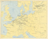

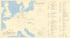

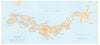


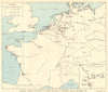

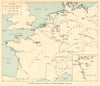

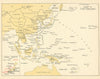


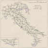

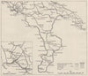


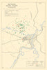


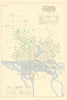


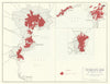


Maps created for intelligence work, covert operations and the selection or attack of targets often reveal information never intended for public view. This collection brings together military and naval intelligence maps, restricted and secret editions, defence overprints, occupation plans, bombing and target maps, and fabric escape-and-evasion charts. It ranges from First World War trench intelligence and early twentieth-century diplomatic mapping to Second World War BIGOT invasion material, coded desert maps, Allied town plans, coastal intelligence and postwar occupation planning. Cold War examples include restricted GSGS and USAF escape maps and airborne exercise sheets. Markings such as SECRET, TOP SECRET, RESTRICTED and OFFICIAL USE ONLY convey both their operational purpose and controlled circulation. Together, the maps show how geography was gathered, classified and transformed into intelligence: identifying defences, communications, terrain, targets, routes of advance, escape corridors and places to be occupied or destroyed.
EU orders up to €150 are sent VAT- and duty-paid — no additional taxes on arrival
Authenticity Guaranteed - We only sell original antique & vintage items
Can we help? Call us on +44-208-960-3476 • FAQs
All our products are exempt from US tariffs — no additional duties or taxes payable on arrival.


- Shop by Country
- Shop by Cartographer
- Shop Maps by Type
- Shop Prints by Subject