


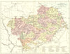

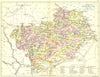


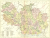


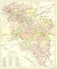

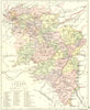


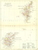


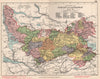

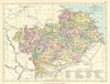


Scotland's historic counties, divided into their parishes, make up maps from Philip's Handy Atlas of the Counties of Scotland, constructed by John Bartholomew and published by George Philip & Son in issues of 1886–1891. The sheets follow nineteenth-century administrative geography, with names such as Edinburghshire, Haddingtonshire and Forfarshire, and smaller neighbours share a page, as Fife and Kinross, Stirling and Clackmannan, and Elgin and Nairn do. The Western Isles, Orkney and Shetland have their own maps, and enlarged environs sheets show the country around Edinburgh and Glasgow.
EU orders up to €150 are sent VAT- and duty-paid — no additional taxes on arrival
Authenticity Guaranteed - We only sell original antique & vintage items
Can we help? Call us on +44-208-960-3476 • FAQs
All our products are exempt from US tariffs — no additional duties or taxes payable on arrival.


- Shop by Country
- Shop by Cartographer
- Shop Maps by Type
- Shop Prints by Subject