


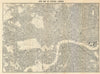

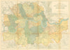

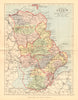

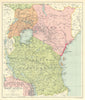

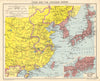

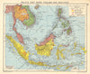

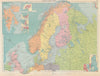

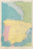

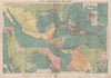

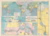

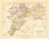


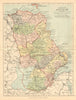


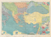

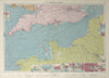

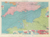

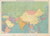


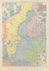

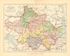

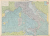

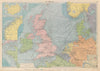

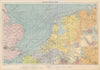


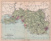

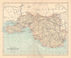
George Philip (1800–1882) and his son George Philip Jr. (1823–1902) were influential British cartographers and publishers who played a major role in shaping 19th-century geographical education and public access to high-quality maps. Originally founded in 1834 in Liverpool, the firm later expanded to London as George Philip & Son. It quickly became one of the most prolific map publishers of the Victorian and Edwardian eras. Initially producing finely hand-coloured copperplate maps, the company transitioned to lithographic printing by 1862, allowing for greater affordability and mass distribution. Their output included school atlases, wall maps, and richly detailed folio atlases for both domestic and institutional use. Among their most enduring works was the Philip’s Handy Atlas series, covering the counties of England, Ireland, Scotland, and Wales, with cartography often by John Bartholomew. Other important publications included the Philip’s Mercantile Marine Atlas & Philip’s Handy-Volume Atlas of London. With a catalogue that balanced visual clarity, educational value, and aesthetic quality, George Philip & Son became a household name and a cornerstone of British cartographic publishing for generations.
EU orders up to €150 are sent VAT- and duty-paid — no additional taxes on arrival
Authenticity Guaranteed - We only sell original antique & vintage items
Can we help? Call us on +44-208-960-3476 • FAQs
All our products are exempt from US tariffs — no additional duties or taxes payable on arrival.
- Shop by Country
- Shop by Cartographer
- Shop Maps by Type
- Shop Prints by Subject