
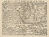


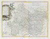


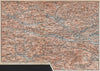

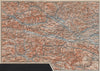

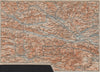

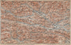


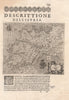


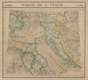


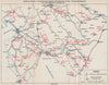





The caves of the Karst and the peaks of the Julian Alps give the maps of Slovenia a striking physical geography. Early sheets of Illyria and Istria and Habsburg regional atlases are joined by detailed plans of the caves at Postojna, Škocjan and Predjama, and nineteenth-century sketches of Carniola, the lake at Cerknica and the Ljubljana plain. Alpine guidebook maps link Triglav and Lake Bled with the neighbouring Austrian and Italian mountains, keeping older German and Italian names, and geological maps cover the border country around Tolmin. Military sheets record operations in Istria and Styria in the Second World War, and the prints include Dravograd on the Drava.
EU orders up to €150 are sent VAT- and duty-paid — no additional taxes on arrival
Authenticity Guaranteed - We only sell original antique & vintage items
Can we help? Call us on +44-208-960-3476 • FAQs
All our products are exempt from US tariffs — no additional duties or taxes payable on arrival.


- Shop by Country
- Shop by Cartographer
- Shop Maps by Type
- Shop Prints by Subject