
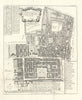


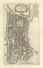

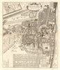

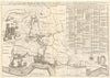

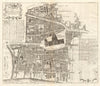

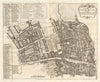

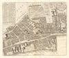


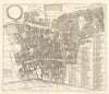

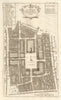

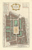

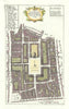

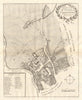

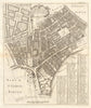


London's wards and parishes, down to their churches, streets and courts, are laid out in these antique maps by John Strype (1643–1737), the historian and clergyman whose enlarged 1720 edition of John Stow's Survey brought the account of London and Westminster into the eighteenth century. His role was editorial and historical; he was not the sole engraver of the maps. Ward plans cover the City, and parish maps reach beyond the walls to Soho, Westminster, Clerkenwell, Spitalfields, Stepney and Wapping, with the Tower liberties and Southwark extending towards the Thames. Some designs derived from earlier surveys and were corrected for publication, and later issues show the series remaining in circulation.
EU orders up to €150 are sent VAT- and duty-paid — no additional taxes on arrival
Authenticity Guaranteed - We only sell original antique & vintage items
Can we help? Call us on +44-208-960-3476 • FAQs
All our products are exempt from US tariffs — no additional duties or taxes payable on arrival.


- Shop by Country
- Shop by Cartographer
- Shop Maps by Type
- Shop Prints by Subject