
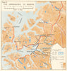

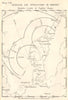

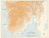

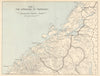

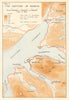

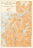

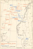

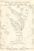

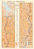

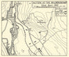

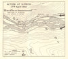

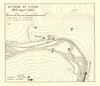

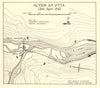

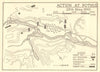

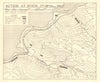

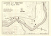

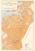

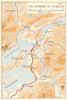

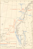

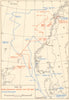

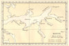
The fjords around Narvik and the narrow valley routes of inland Norway come to life in the maps from T. K. Derry’s The Campaign in Norway, the official history of the fighting of 1940, published by HMSO in 1952. Operational maps, battle diagrams and naval charts cover southern Norway, Trondheim and Narvik, with detailed sheets of the actions at Tretten, Kvam, Otta and other points along the valleys, and northern road maps follow the advance through Mo towards Bodø. Air-operation diagrams mark British and German bases and their operating limits, and the naval charts trace movements during the invasion and the withdrawal.
EU orders up to €150 are sent VAT- and duty-paid — no additional taxes on arrival
Authenticity Guaranteed - We only sell original antique & vintage items
Can we help? Call us on +44-208-960-3476 • FAQs
All our products are exempt from US tariffs — no additional duties or taxes payable on arrival.


- Shop by Country
- Shop by Cartographer
- Shop Maps by Type
- Shop Prints by Subject