


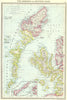


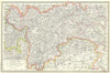


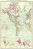

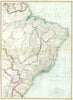


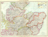


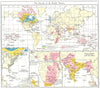

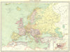


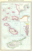


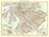


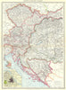
City plans of London, Edinburgh and Dublin, harbours from Hong Kong to Manila Bay and charts of undersea cables fill The Harmsworth Atlas & Gazetteer, published at Carmelite House in London in 1907. British sheets map transport, agriculture and industry, with plans of Belfast, Glasgow and the major ports. European coverage includes Western Germany, Schleswig, the Tyrol, Trieste and Vienna, Spain, the Channel Islands, Gibraltar, Malta and Cyprus. Further afield the atlas maps the Japanese Empire and Formosa, the Pamirs, Kolkata and Rangoon, French North Africa, Morocco, the Cape Colony, Alexandria and Abyssinia, with soundings across the Atlantic and Indian Oceans.
EU orders up to €150 are sent VAT- and duty-paid — no additional taxes on arrival
Authenticity Guaranteed - We only sell original antique & vintage items
Can we help? Call us on +44-208-960-3476 • FAQs
All our products are exempt from US tariffs — no additional duties or taxes payable on arrival.


- Shop by Country
- Shop by Cartographer
- Shop Maps by Type
- Shop Prints by Subject